

~Wile E. Coyote
Many of us that frequent this site grew up being entertained by a series of Looney Tunes cartoon characters. Among the most famous of these characters were The Road Runner and Wile E. Coyote. Episode after episode Wile E. Coyote would use absurdly complex contraptions and intricate plans to pursue his quarry. Of course the clever Roadrunner would allude his best efforts and escape to live another day. As it turns out theGreater Roadrunnerreally does exist and his home is North Americas great Sonoran Desert.
Click on image for more information
Click on image for more information
|
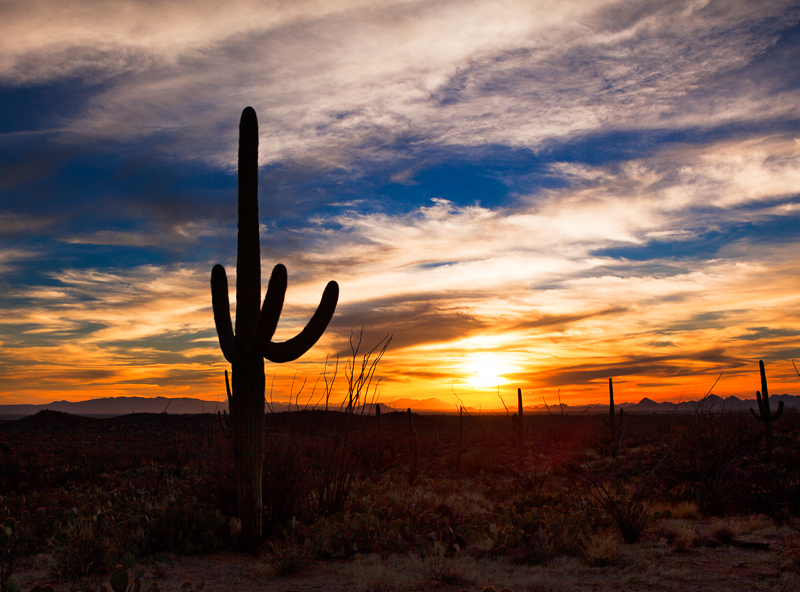
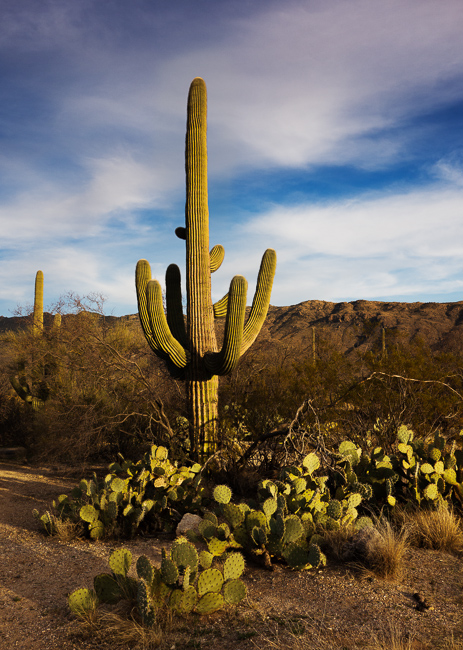
The Sonoran desert covers an area stretching from southeastern California, thorugh the northern end of the Gulf of California, much of Baja California, southwestern and southern Arizona to the western and central regions of Sonora Mexico. It is one of the largest and hottest deserts in North America with an area of 120,000 square miles. One of the best places for photographers to experience this great desert is in Saguaro National Park. The park is divided into two districts. The Tucson Mountain District is located west of the city of Tucson. The Rincon Mountain District is located east of Tucson. In my opinion the Rincon Mountain section provides the best photographic opportunities of the two. The Rincon Mountain District of Saguaro National Park ranges from an elevation of 2,670 ft to 8,666 ft and contains 6 biotic communities. The biotic communities include desert scrub, desert grassland, oak woodland, pine-oak woodland, pine forest and mixed conifer forest. The desert scrub zone is the classic Sonoran Desert section and source of the classic images we see from this area. |
The best time to visit and do landscape photography in this area is the winter. Daytime highs in January and February are in the 60°F-80°F range making Saguaro National Park a perfect refuge from the cold winds of winter. The high Cirrus clouds that often precede a front moving from the west into this area create the firey red sunsets the park is famous for.
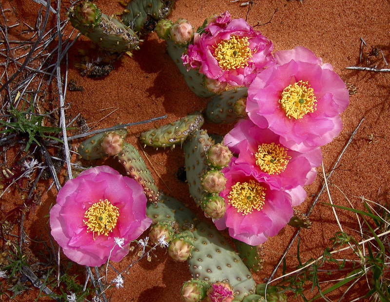
Summer temperatures often exceed 110°F. Spring is the optimum time if you wish to engage in wildflower photography. Wildflower highlights include the California and Mexican poppy, the Mojave Aster, the Globe Mallow and the Desert Marigold.
In April when the daytime temperatures already approach 90°F, the cacti begin to flower in spectacular blooms. These include the Prickly Pear, the Fishhook Barrel Cactus and the Hedgehog Cactus. The signature bloom of the area, the Saguaro flower, occurs in June when the temperatures can easily exceed 100°F.
One of the iconic images of the American southwest is Jack Dykingas shot of a Saguaro cactus framed by the bloom and arm of another Saguaro in the forground. It can be viewed on his web sitehere.
Click on image for more information
Click on image for more information
Access to the Sonoran Desert section in the Rincon Mountain district of the park is via theCactus Forest Loop Drive.This eight-mile paved loop weaves among giant saguaro cacti in the foothills of the Rincon Mountains about 16 miles east of downtown Tucson.
The drive begins just past the visitor center, where you can see exhibits, consult the information desk, and check out the bookstore’s collection. The Cactus Garden just outside the visitor center identifies desert plants. After about 2.2 miles on the one-way loop, you’ll pass the road to Mica View Picnic Area on the left. The Desert Ecology Trail, a paved quarter-mile loop, illustrates how plants and animals live in their desert home. It begins on the left 0.3 mile beyond the picnic area turnoff.
Many photographic opportunities present themselves within 100 feet of the paved road. There is a pullout at the high point of the loop, about 5.2 miles out, that is ideal for a magnificent desert sunset shot, if the cloud conditions are present.
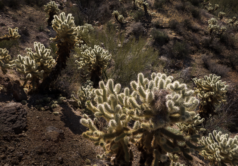
If you choose to take a nature hike, or wander off the pavement for a better photo opp, I recommend taking lots of water and wearing good quality nylon long legged pants. The Sonoran desert is a harsh environment and most of the flora in it, protects itself from being eaten with sharp spines. When it comes to birds the most common one in the desert is of course the Greater Roadrunnner. If you listen closely you might even here it’sinfamous call.

About Miles Hecker
Miles has been involved with photography for over forty years. He teaches digital photography at Casper College in Casper, WY. His photos have won awards fromNatures Best magazine,Photo.net, The Luminous LandscapeandWyoming WIldlife . Miles’ photos have been published in American Vignette, Backpacker Magazine, Natures Best Images, Popular Photography, Wyoming Audubon, and Wyoming Wildlife. He is co-founder ofWyofoto LLC
Geotagged Photolocation Index
April 2013
